The Ultimate Distillery Map - Based On A 199 Year Old Original
The Ultimate Distillery Map - Based On A 199 Year Old Original

- Worldwide Shipping Available
- In stock for immediate dispatch
- Specialist Packaging
- Secure payments
What do you get the whisky lover who has everything?
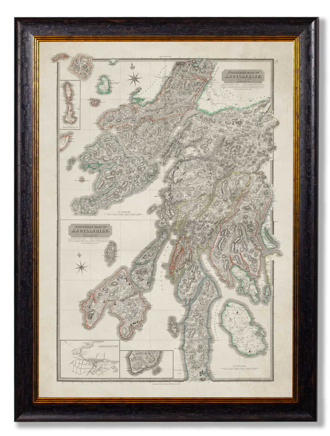
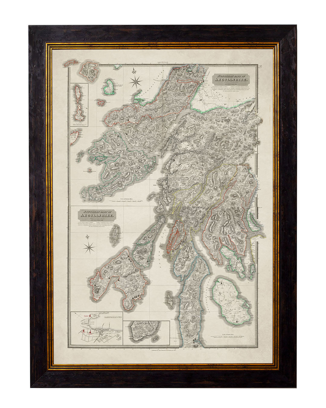
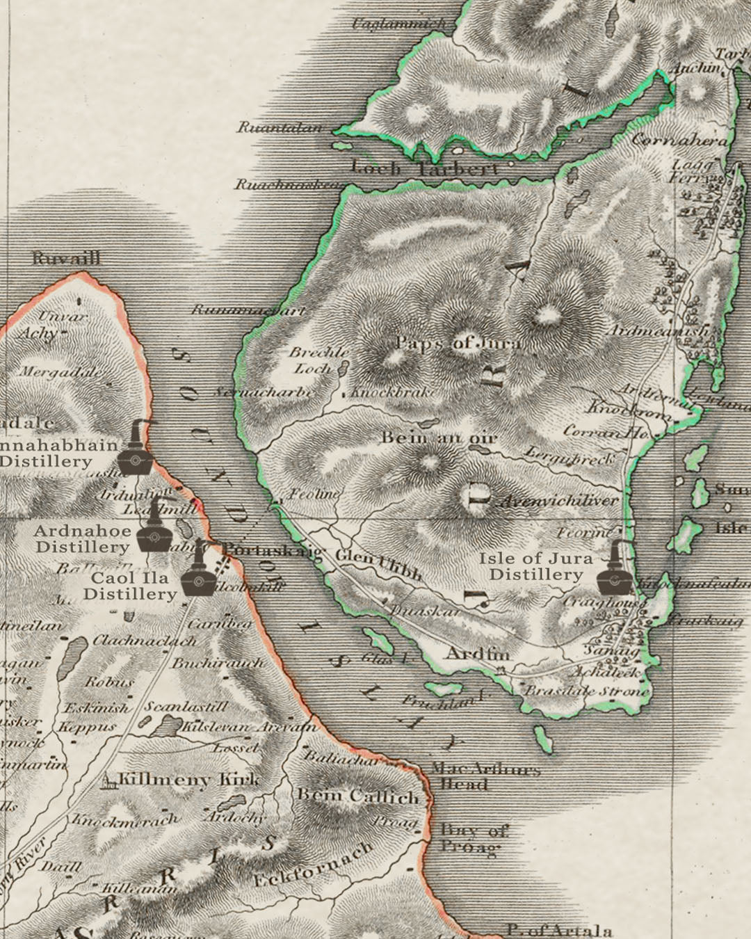
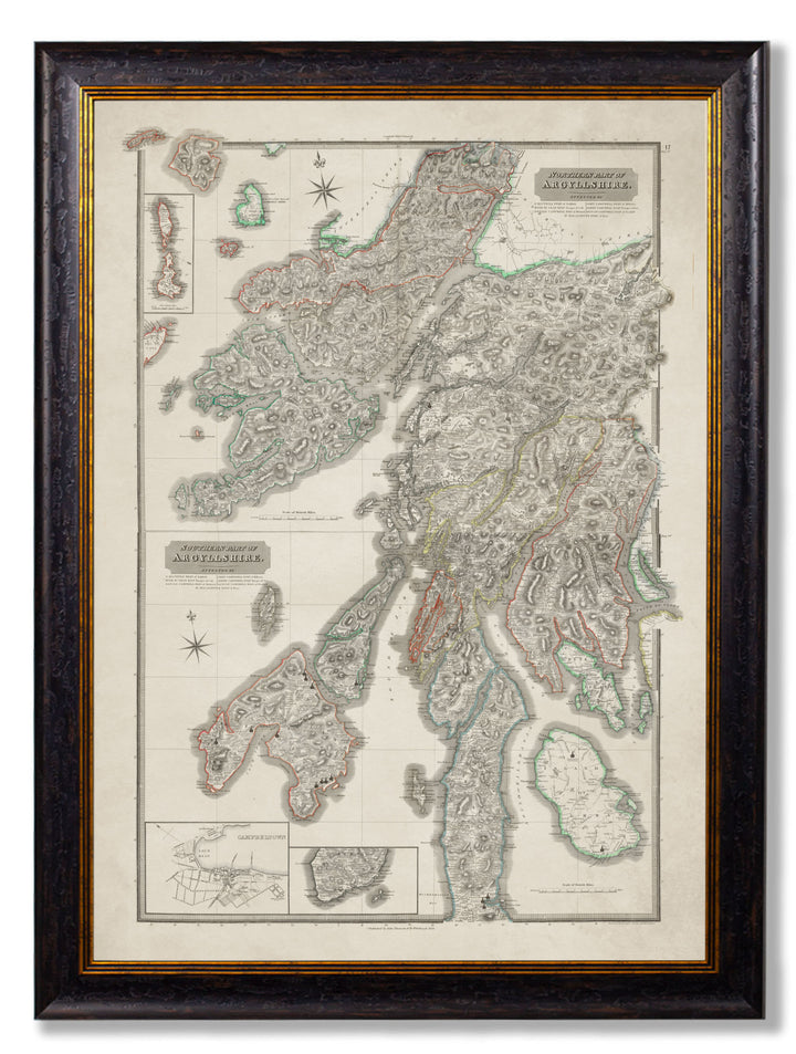
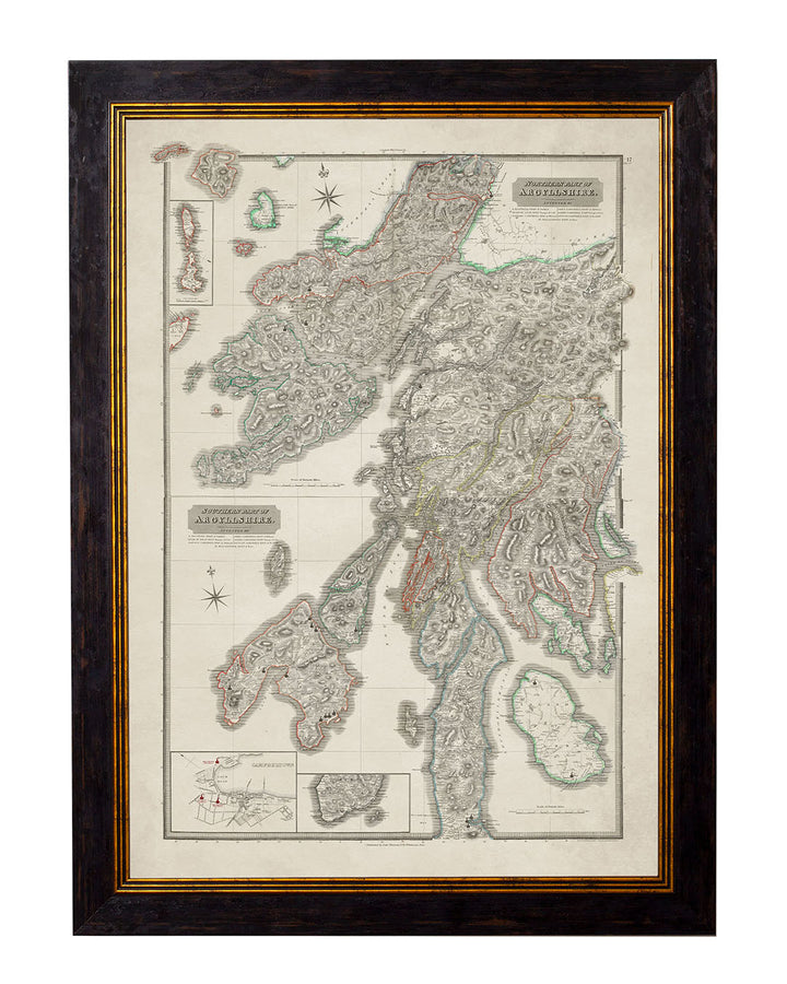
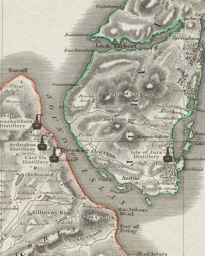
This superb whisky distillery map is based on an original 1824 map from our collection where the team at Mark Littler Ltd have digitally restored the map to it's former glory and added each distillery, highlighted with a whisky still icon.
Produced in Lancashire, England: Framed in solid wood moulding, printed via fine art Giclee techniques, mounted on an acid free backing board and displayed behind glass this piece of art is more than just "whisky merch".
The History Of The Map
John Thomson: Atlas of Scotland – Argyllshire Map
These distillery maps are superbly reproduced from John Thomson’s early 19th Century, Atlas of Scotland maps published in 1832 (this map was released in 1824 but the atlas as a whole in 1832). Depicting the Argyllshire County on a detailed scale and featuring hand colouring, the map sections were originally drawn by William Johnson, and engraved by John & George Menzies. The Northern Part of Argyllshire map section, features regions including Argyll and the Isle of Mull. Islay, the Isle of Jura, and Isle of Arran are depicted on the Southern Part of Argyllshire map section, which also features a street view of Scotland’s historic whisky capital of Campbeltown. Locations named include, Lagavulin, Ardbeg, Bowmore, and Oban which have all shared their names with some of Scotland’s most iconic whisky distilleries.
John Thomson, and the Atlas of Scotland
John Thomson was a Scottish cartographer, publisher and bookbinder based in Edinburgh, during the early 19th Century. Born in 1777, Thomson was apprenticed to Edinburgh bookbinder Robert Alison. Following his apprenticeship, John Thomson went into business with Abraham Thomson, although the partnership quickly divided with Abraham Thomson taking the bookbinding portion of the business, while John Thomson began to specialise in maps and cartography. Establishing the company John Thomson & Co. which operated between 1804-1837, Thomson emerged as one of the leading cartography publishers redefining European cartography by abandoning the traditional 18th Century decorative elements such as elaborate title cartouches and fantastic beasts, in favour of detail and accuracy. John Thomson’s publications include the New General Atlas, published from 1814-1821, and the New Classical and Historical Atlas released in 1829.
John Thomson’s best-known publication, the Atlas of Scotland was a work of ground-breaking detail, which presented the first large scale atlas of Scotland organised by county, and represented a significant milestone in the history of mapping. When compiling the Atlas of Scotland, John Thomson announced the maps would be derived from Actual Surveys and collected materials, with information confirmed or corrected by teams of Attestors and surveyors, to ensure greater accuracy. Mapping and cartography design for the Atlas of Scotland began in 1820, and using collected surveys artist William Johnson completing the final atlas map in 1827. Engravers, including John & George Menzies produced the plates used for printing.
The scale of detail and dedication to accuracy involved in producing the Atlas of Scotland would eventually bankrupt John Thomson & Co. in 1830, resulting in the courts sequestering the completed printing plates. A partial company revival and loan from his creditors enabled John Thomson to pay the engravers and reclaim his plates in 1831. The Atlas of Scotland was finally published in 1832. The completed Atlas of Scotland provided an invaluable and accurate picture of Scotland prior to the second phase of the Scottish Clearances, which saw the forcible eviction of tenant farmers in favour of large-scale sheep farming, resulting in widespread resettlement. Compilation of the Atlas of Scotland also coincided with the passage of the 1823 Excise Act, which lifted many of the traditional restrictions on licenced distilleries. The 1823 Excise Act resulted in a number of illicit distilleries applying for licences, with the approved distilleries taking the names of nearby locations, which means the Atlas of Scotland also provides an accurate picture of Scotland’s historic whisky distilleries.
After printing the Atlas of Scotland, John Thomson again filed for bankruptcy in 1835, at which time Thomson’s printing plates were sold to A. K. Johnston & Co. The impressive size, vivid hand colouration and superb detail, have led John Thomson’s maps to become increasingly rare and sought after by collectors. In 2008, a limited edition of 800 copies, reprint of the Atlas of Scotland was published in association with the National Library of Scotland. The limited edition Atlas reproduced John Thomson’s original maps, including 58 large format double page maps of Scotland, alongside two beautiful illustrations depicting the ’Comparative heights of the principal mountains of Scotland’, and ‘Comparative lengths of the principal rivers of Scotland’.
Bottler:
Age:
Vintage:
Bottled:
ABV:
Volume:


